
I was just getting into mountain biking when I returned home from completing my enlistment in the Army. Coming back to Vermont, I brought my new Cannondale M600 with me and was anxious to find places to ride. After connecting with some friends old and new, someone lead me on a ride on the trails surrounding the Plymouth Five Corners area. This was the real start to my mountain biking career, if you want to call it that. I probably put thousands of miles on my bike on these class-4 roads and trails.
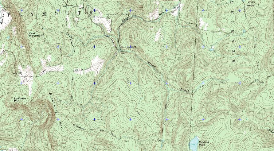
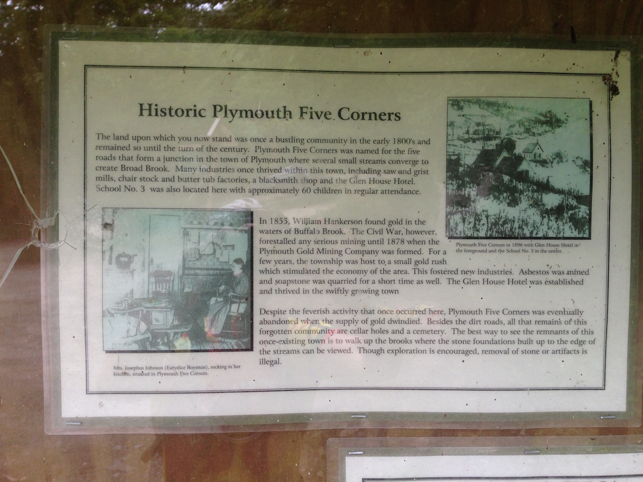
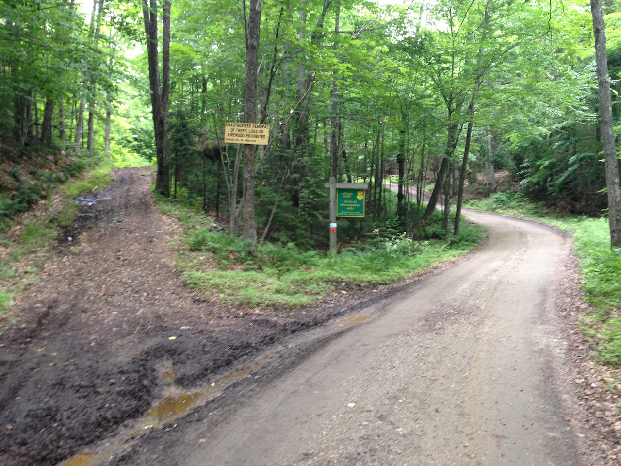
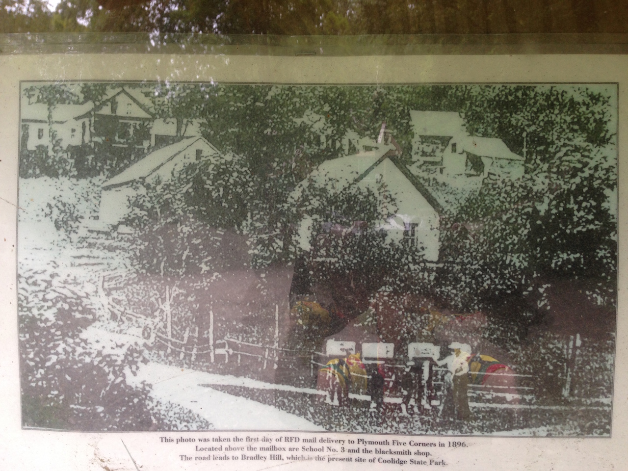
The Five Corners area consists of thousands of acres of forest with many, many miles of abandoned town roads cutting through them. Most of the land falls within the Arthur Davis Wildlife Management Area (WMA) and is surrounded by various privately owned tracks of land spanning the towns of Plymouth, Reading and Woodstock. These roads were old roads from the village of Plymouth Five Corners and surrounding residents. The town peaked sometime in the mid-1800s and was eventually abandoned some time early in the 20th century, but the roads remained. With a little bit of effort, you can still find old stone foundations from the farms, homes and businesses that once made up the community. I was always fascinated with the history of this area.
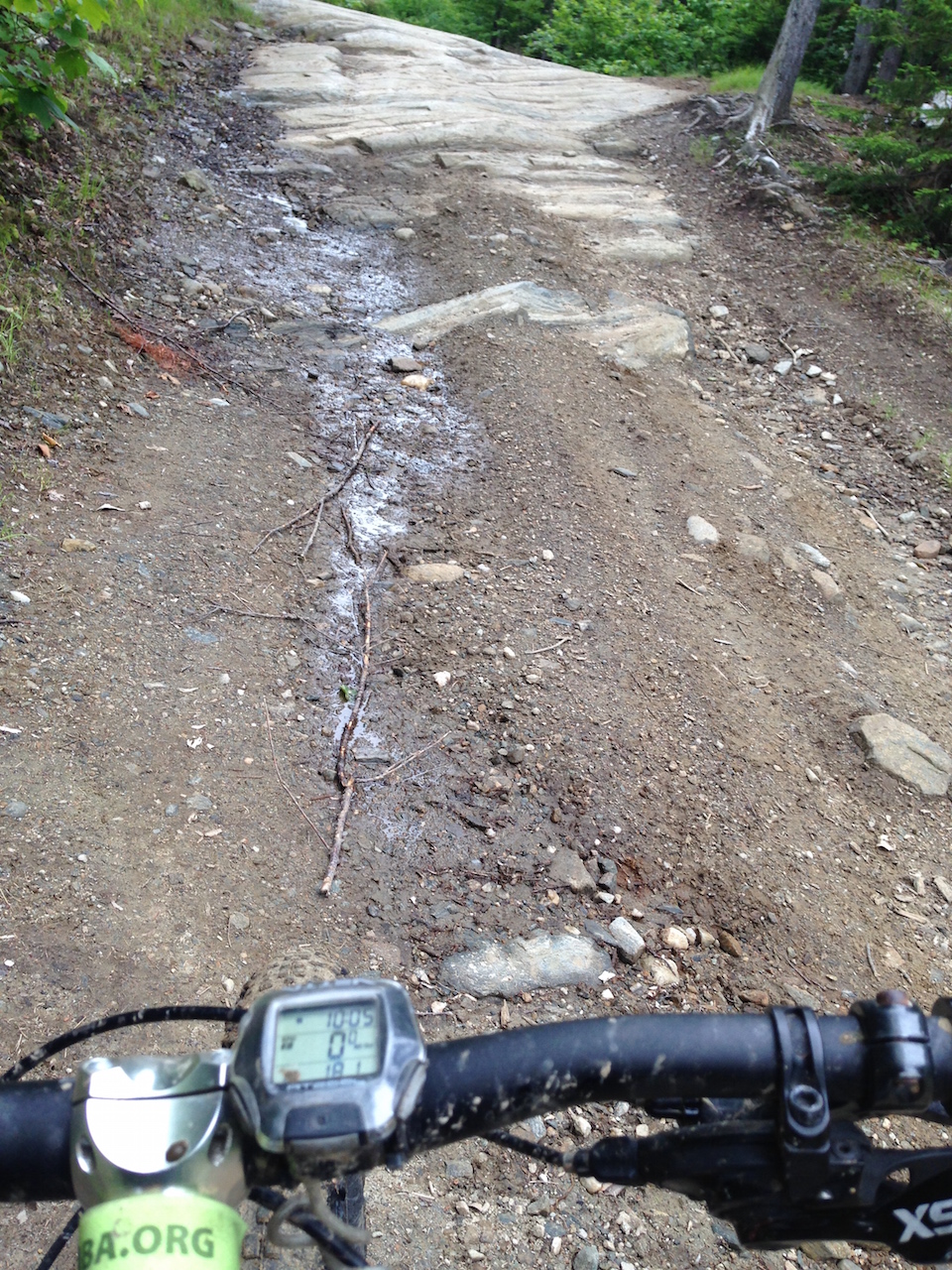
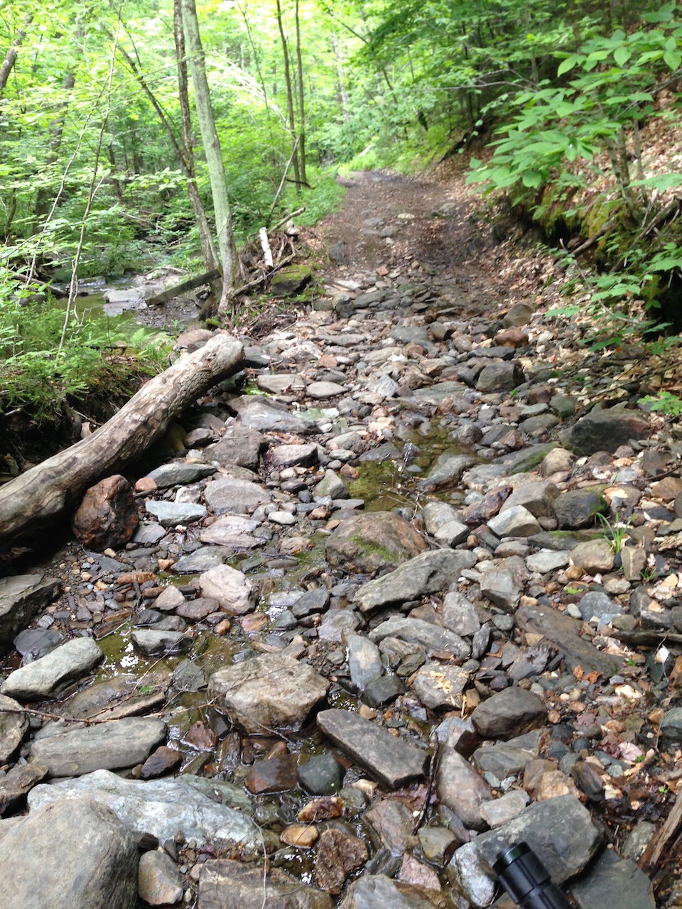
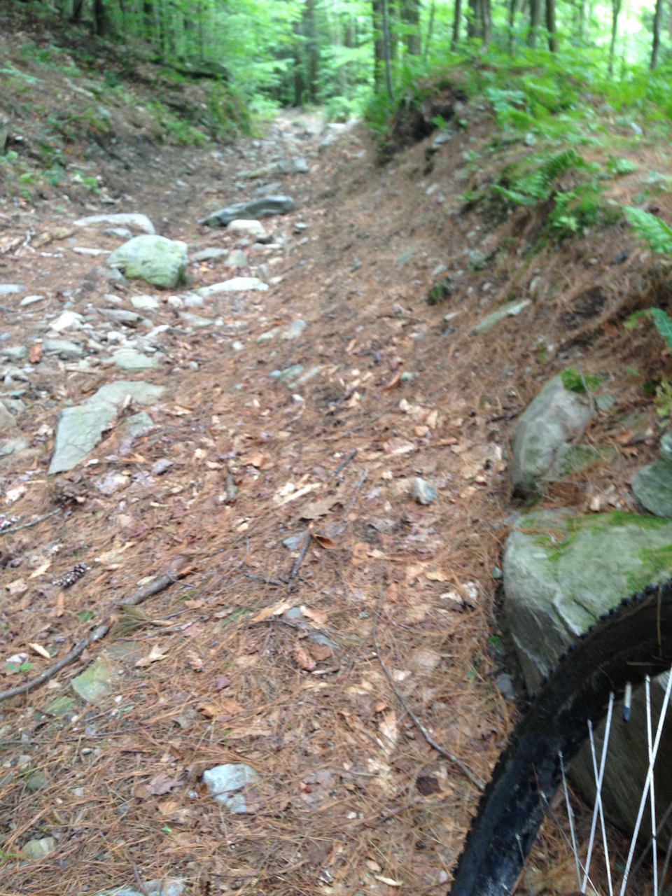
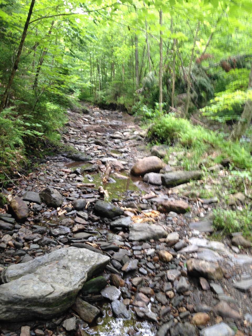
For me, the real draw of this area was the seemingly endless, rugged class-4 roads. These roads were not the boring dirt road type stuff you often think of when someone mentions riding old roads. They were rocky, steep, ledgy, sometimes severely eroded terrain that could be very challenging to ride. Some sections resembled a stream bed more than a trail. A few actually were stream beds. There were many sections where it took some real bike handling skill and strength just to be able to get up while still on the bike. It was not uncommon to lose traction and have to walk up the remainder of a section. It wasn’t all work though, each climb was rewarded with long, gnarly descents.
Back then, pretty much everyone in the area who mountain biked rode these trails since we didn’t have access to any purpose-built single track. There were no mountain bike clubs in Vermont and no developed trail systems. What little single track we did have just happened organically as we packed down the same path through the woods, usually to connect one back road to another. Mountain biking, at that time, mostly involved hunting down challenging terrain where ever it happened to already exist – class-4 roads, 4-wheeler trails or simply old log or farm roads.
Last time I had ridden these trails was nearly twenty years ago and I’ve often been curious about what they would be like now. While down in Ludlow for the weekend, I thought I could take a few hours off in the morning and do some exploring. I decided to start riding right from town, climbing up and over North Hill like I always used to do. While some things have changed, the start of the ride had a pretty major deja vu effect on me.
My first obstacle was to find the old trail connecting North Hill down to Chapman Road. Many things can change over the span of a couple of decades: houses get built, roads paved, property changes hands, gets posted or logged, and trails grow in. I’m not sure exactly where the old trail went, but it wasn’t going to connect to my destination any more. I meandered around in the woods following several log roads for quite a while. Eventually, I stumbled upon Rick Trainer’s personal stash of single track. I thought this might be a good thing but it ended up being quite a little maze in the woods. After looping around a bit more I eventually exited the woods by cutting across Rick’s lawn. Not my first choice, but at least I wouldn’t be trespassing across the lawn of someone who doesn’t know me. Doing that kind of thing didn’t bother me as much when I was in my early 20s. I guess maturity has it’s down sides.
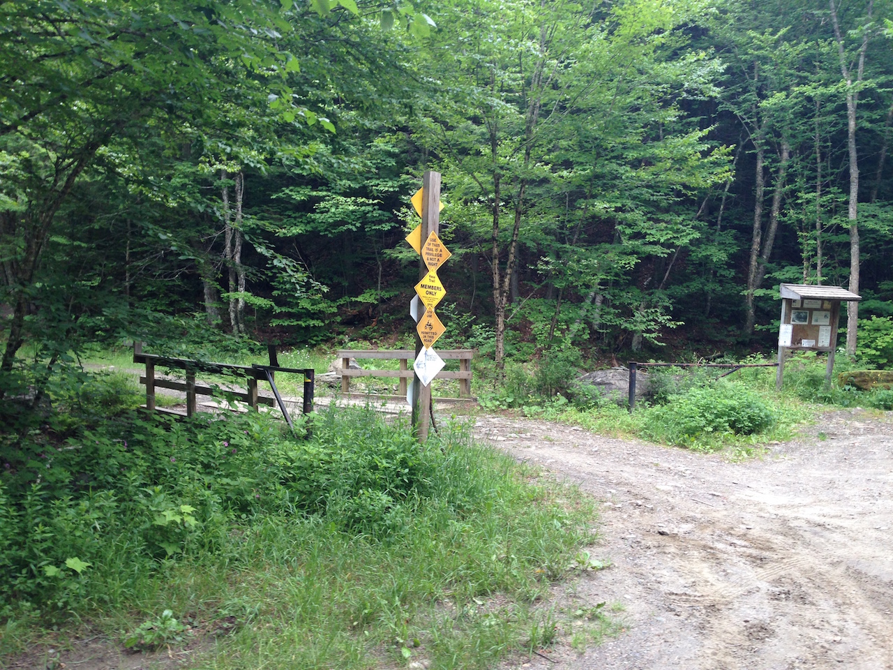
Following a little more dirt road burning, I found the trailhead at Colby Pond. The initial bit of trail has obviously been graded and nicely resurfaced with some gravel. A couple of miles of this crap got me far enough in that I could start connecting with some of the “real” trails I used to enjoy.
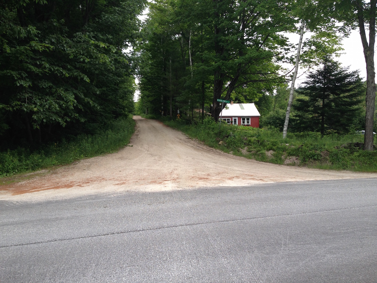
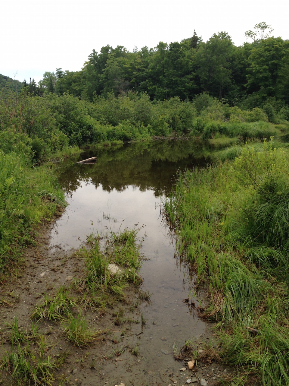
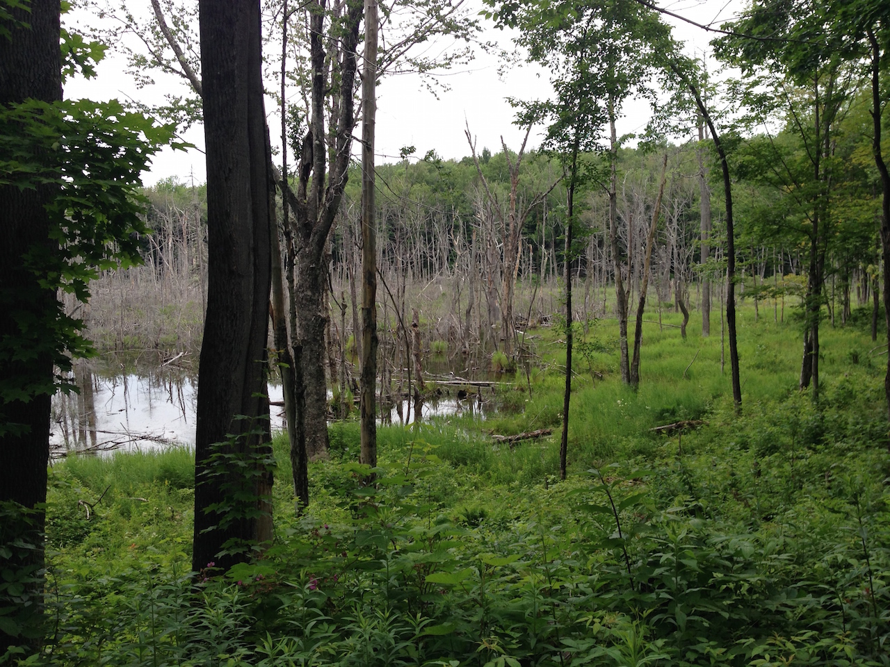
I first attempted to climb the old jeep trail up past Reading Pond. At one time, this was an extremely challenging climb that probably wouldn’t qualify as a rideable trail by most standards. I loved it. A small stream had been diverted down the old road rendering it only mildly recognizable as a trail. I was really looking forward to this and the first half mile or so appeared to be just as I remembered it. This was great until I got up to Reading Pond. I discovered that the beavers had expanded the pond to include the old road, so that put an end to that endeavor. I didn’t feel like wading through waist deep muck that early in my ride.
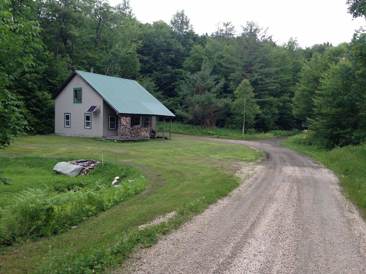
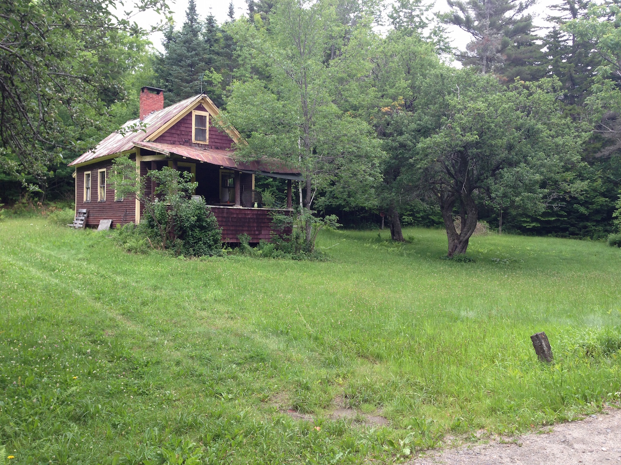
I returned back to the original trail and decided to find my way to the old Brown Schoolhouse in Reading from the other direction. This involved following the main road to a nice rolling descent that takes you to Broad Brook. There used to be a few run down hunting camps along this section of trail. Now those camps are either gone or radically improved. A couple looked like they had seen major renovations and maybe even inhabited for more than just hunting season.
After that nice descent, there was quite a bit of climbing to get up Mt. Moses Road – significantly more uphill than I had recalled. A good portion of that road had been widened out to accommodate logging equipment many years prior. I was a little disappointed by this because this climb used to be very rocky and tightly lined by huge old maple trees. It wasn’t improved enough to make the ride boring; there were still enough rock and ledge sections to keep the ride somewhat challenging. Fortunately, the trail over the top of the ridge to the schoolhouse wasn’t improved at all. The brown schoolhouse was just as I remembered it, with the little spring by the road still flowing with water to refill water bottles in.
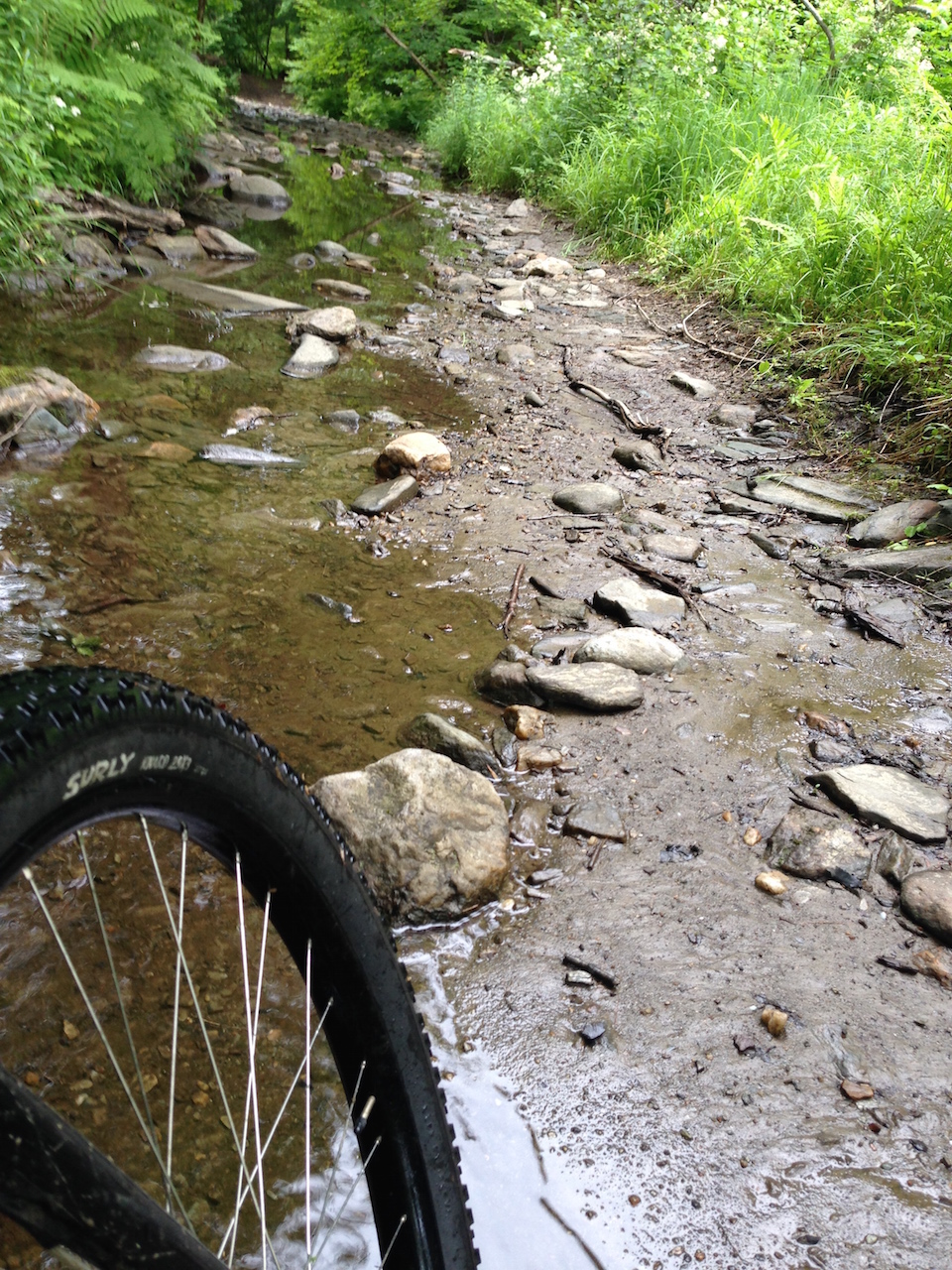
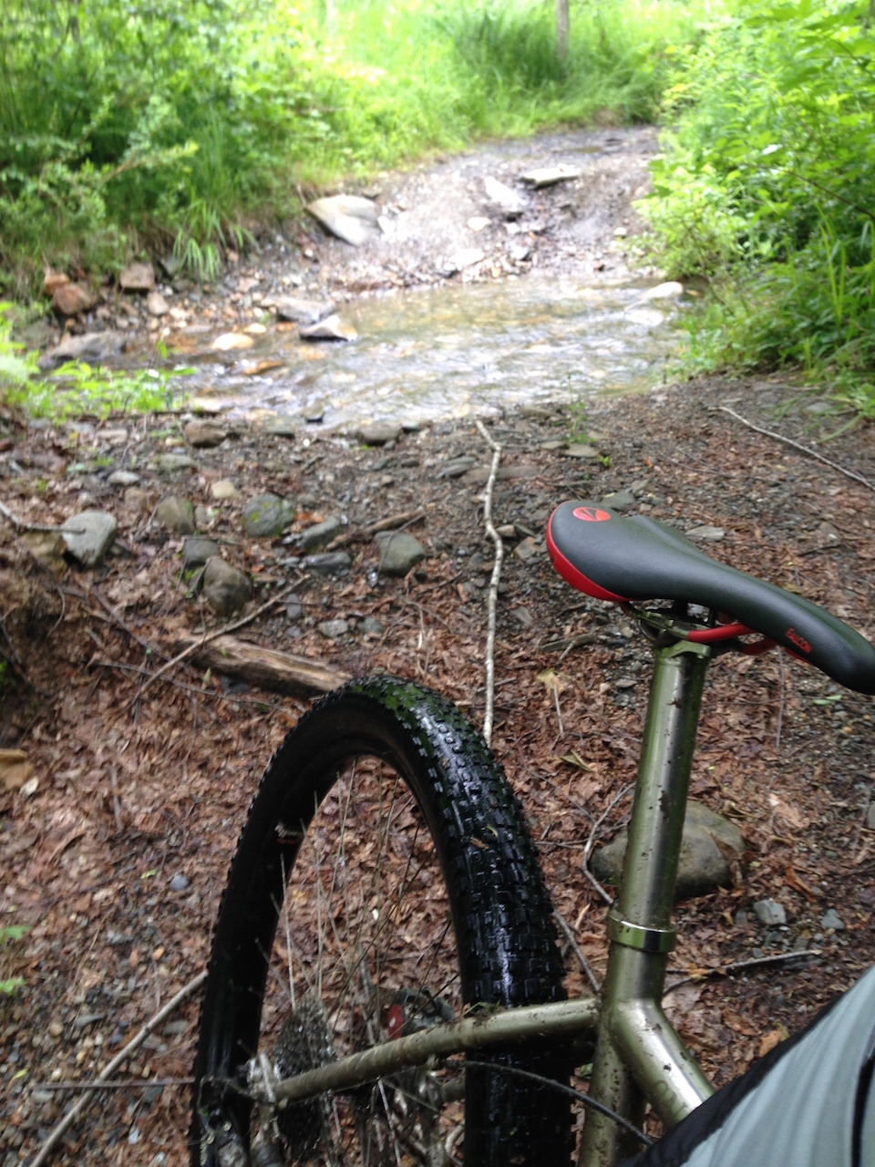
From there, I decided to backtrack down the hill and follow the old road along the brook all the way down to the actual Five Corners intersection. The lower half of this trail was always quite enjoyable with a couple of stream crossings and a few bridges over Broad Brook. Now, this section was even better and a sweet test of my bike handling skills. For the most part, the old road was more like a stream bed, than a dirt road. The bridges were gone and several portions had been completely taken over by the brook. This was extremely fun to ride. It also was the type of terrain that my 29+ wheels excel in. I was riding alone, but I’m pretty sure I was grinning as I rode through this stuff.
Once at Plymouth Five Corners, all roads but one lead up. There would be some climbing ahead, and much more of it than I remembered. My 32:36 was adequate gearing for most of it, but I did find myself wishing I could drop down another cog more than once. Turning back onto the class-4 road past the Bethany Birches camp, things got steep again. Really steep. This trail section had also been resurfaced to allow access to a log yard that had been cleared quite a way in.
Just past the log yard was an intersection where one road leads down to Buffalo Brook and Plymouth State Park, and the other road leads down to the back side of Lake Amherst. In the past, I would have preferred to take the trail down to Buffalo Brook. It’s a long, fast descent down to the brook. From there the trail followed the brook to the state park with numerous stream crossings along the way. I was told that the brook had been completely ravaged by Hurricane Irene and the old trail no longer existed in any real way. Not wanted to turn my ride into a bushwhacking excursion, I opted for Lake Amherst.
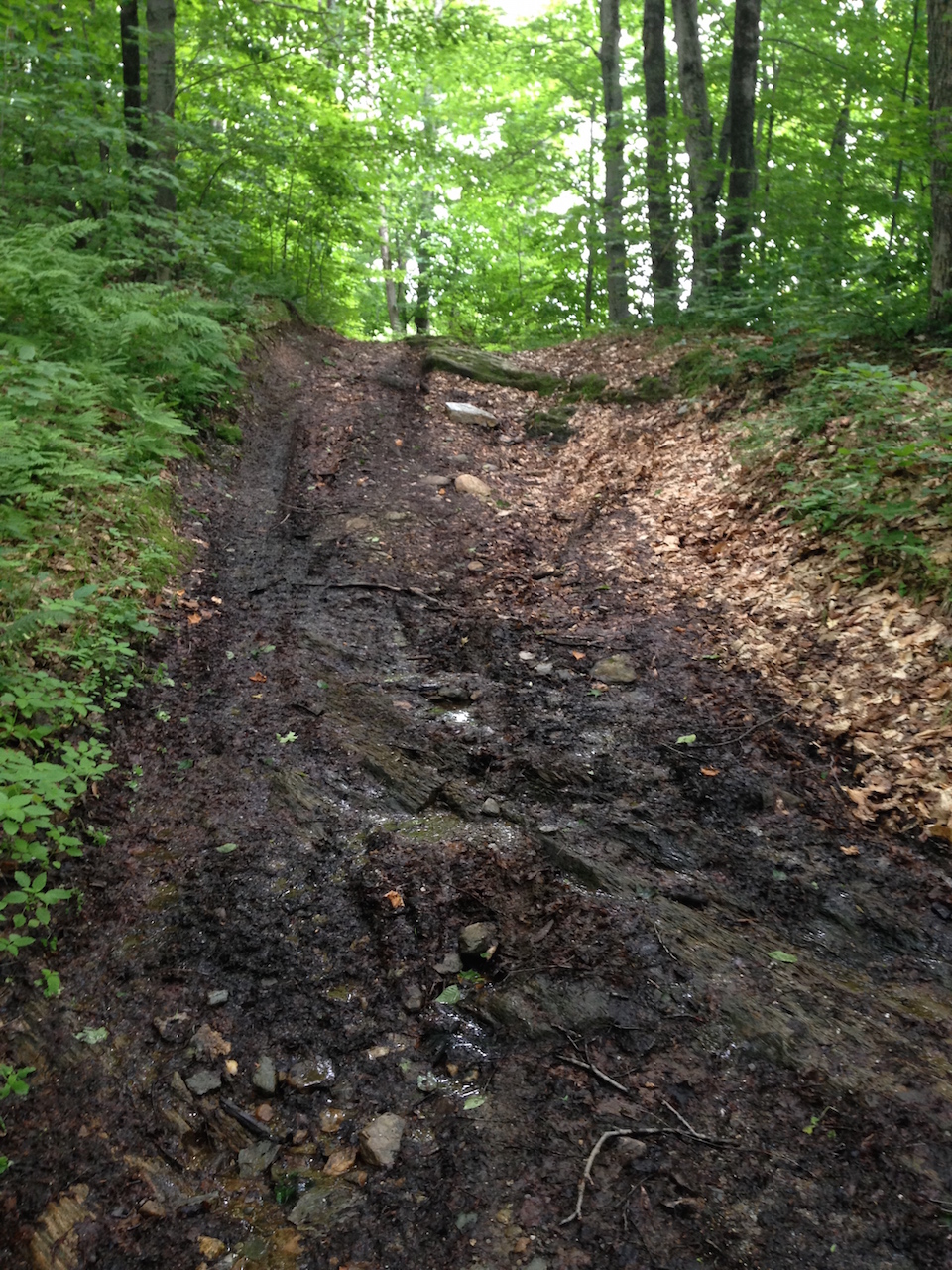
The remainder of the trail that I rode was in pretty much the same condition as I remembered it from twenty years ago. The top part of the road was worn double track that traced across the ridge before turning downhill. The descent started with a few ledge outcroppings and then turned into a plain, old rocky pitch with sections of ledge or loose rocks. As the trail goes on, it becomes steeper. The final half mile or so is cut into the side hill. Climbing up this hill was always a granny gear affair, if it could be ridden at all. Parts of the road had become very eroded and were a bit sketchy at times. With my brake rotors all nice and warm, I dropped out on the dirt road that winds behind Lake Amherst.
I made my way back to town following the dirt roads that run behind the lakes in Ludlow. This was how I often ended my rides out in Plymouth, so it was a fitting way to wrap up this trip. I usually made a bit of a time trial out of those dirt roads, so I had to push it a bit this time as well. The end of the ride meant getting on Rt. 100 and then taking Rt 103 back to Ludlow. Once in town, I had the climb up West Hill to look forward to. The road up to my parents’ house gains a couple of hundred feet in less than half a mile with one pitch over a 20% grade. Nothing like winding down at the end of a ride.
It was nice to check out an area where I used to ride so much. Some of it was so familiar, it felt just like it did back in the early 90s. Some of the inevitable change was a bit of a disappointment. There are many more miles of trail out there that I wasn’t able to explore, only having the part of one day to work with. At some point I’d like to get back out there and revisit a few more of the trails that I missed this time around. After spending so much time riding single-track on trail systems made for biking, it was fun to get back to riding the terrain that I started on.

This area is very remote with a lot of wildlife. Bear tracks in the mud not much older than my tire tracks.