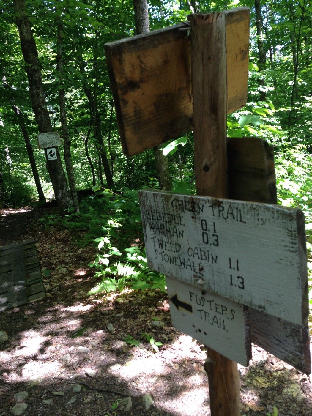
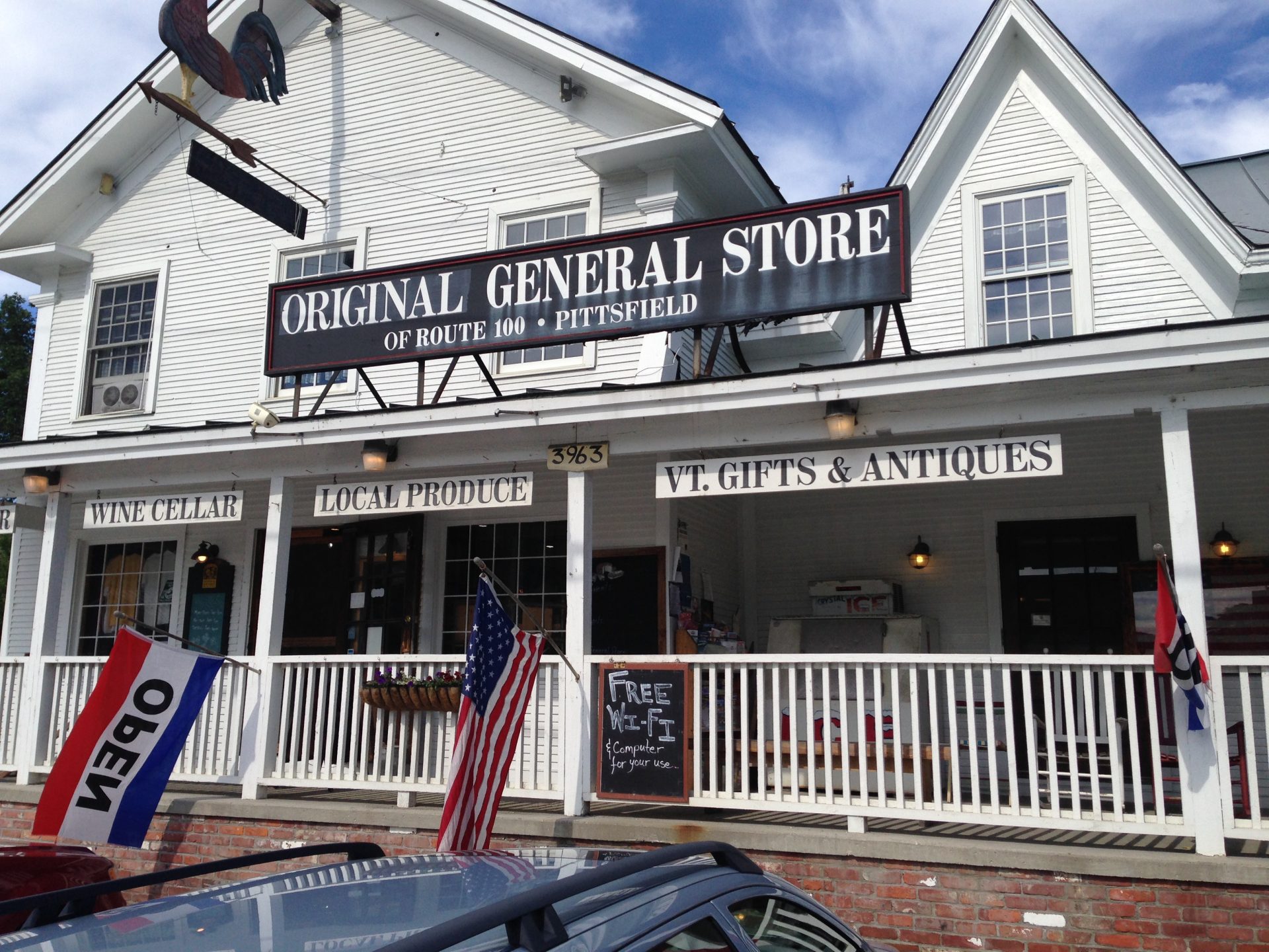
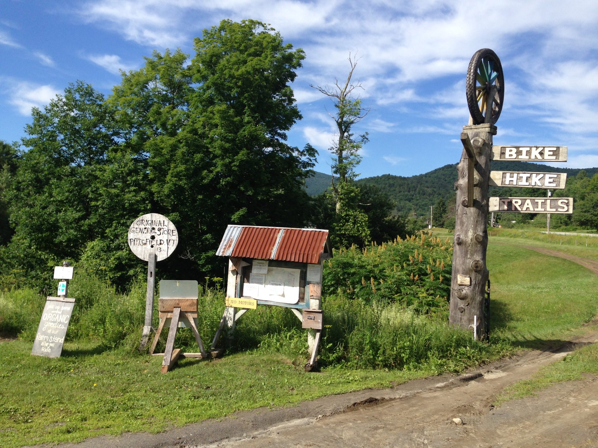
I attempted to squeeze in a ride on these trails last year while visiting family in the area, but couldn’t manage to find my way onto the trail network. I pedaled around some farm fields looking for a bridge to cross the river onto the trails. I didn’t realize that, at that time, the access on the north side of town required fording the river on foot. I also didn’t realize that I could start from the Riverside farm on the south end of the village and avoid the river altogether. Regardless, with a little bit of help, I figured it all out this time. I was able to park at the Riverside farm and hop directly onto the trails. I also got an official trail map from the general store in town. The map cost a few dollars, all of which goes into supporting the trial network. Considering that there isn’t any charge for access, it’s not a bad way to contribute something back and keep from getting completely lost at the same time.
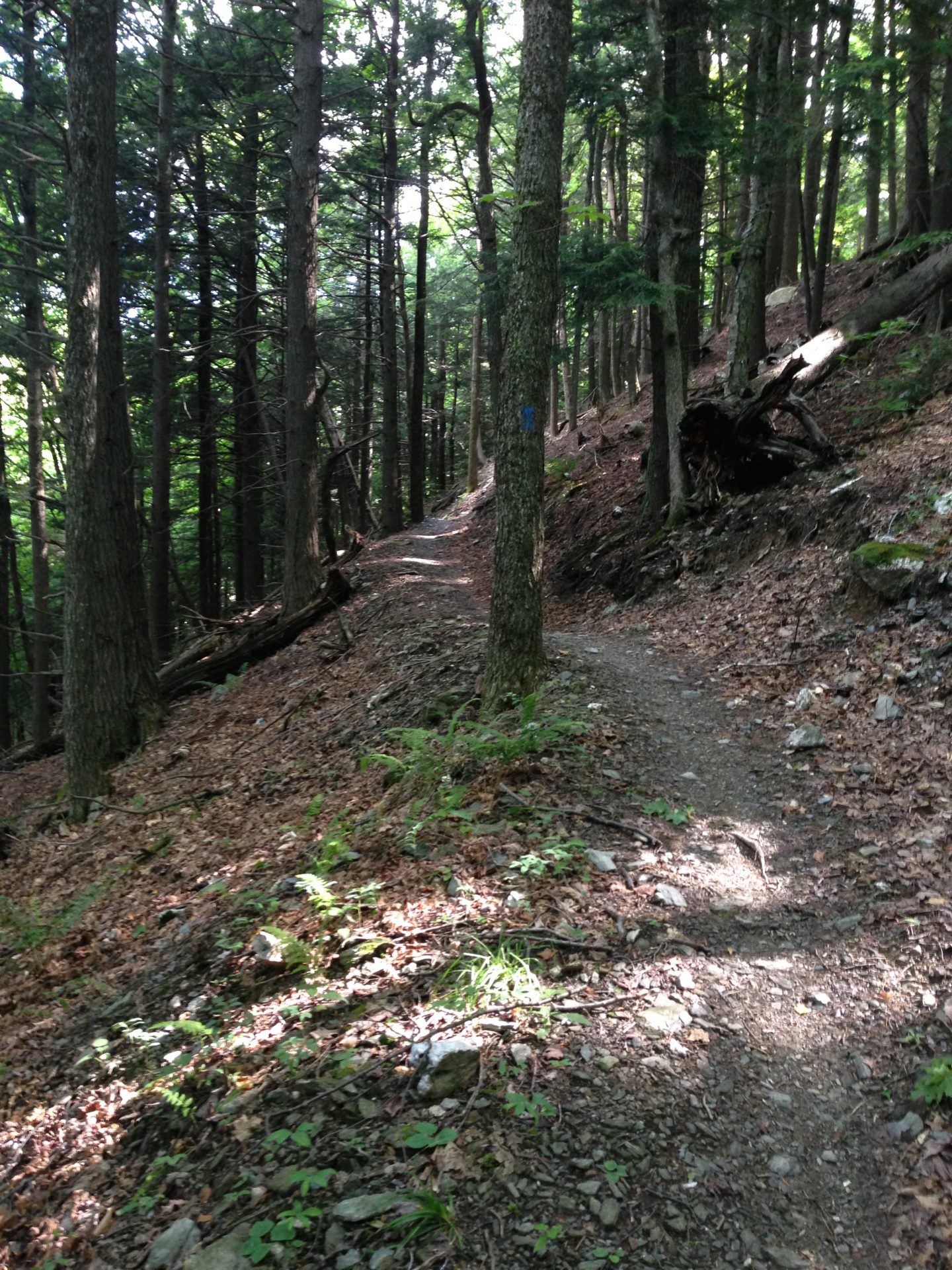
Without a doubt, there was a bit of climbing. The good news is that it was surprisingly enjoyable. My first task was to make my way up to the summit by climbing up Noodles Revenge and Luvin’ It. While they gain some considerable elevation, they do so by breaking up the climb with many switchbacks with long undulating traverses in-between. In order to get up the mountain, there has to be more up than down, but it really didn’t feel that hard. Nearly all of the switchbacks seemed to have banked corners which were just as helpful in the uphill direction as they were going down. The ride up felt fast.
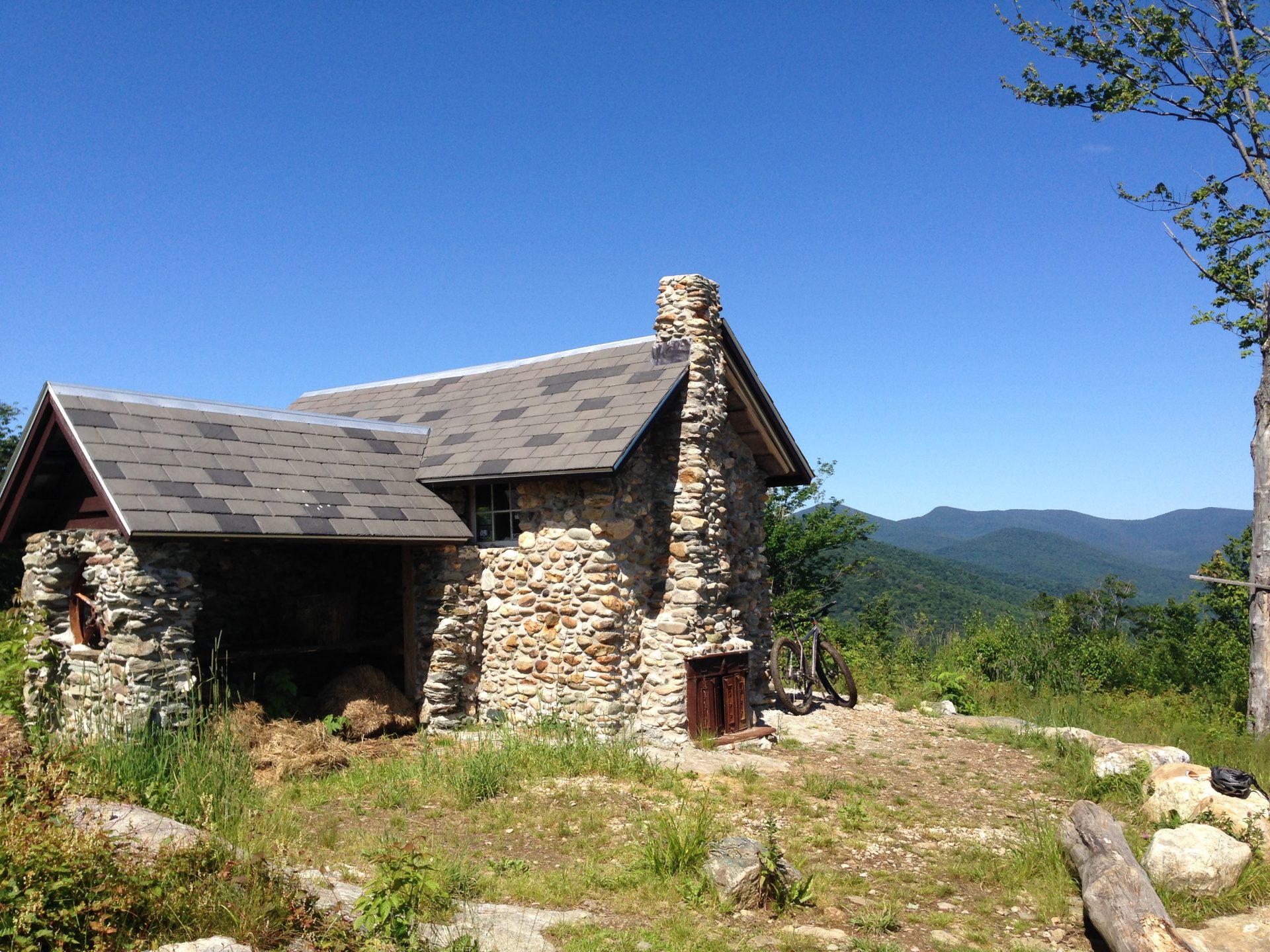
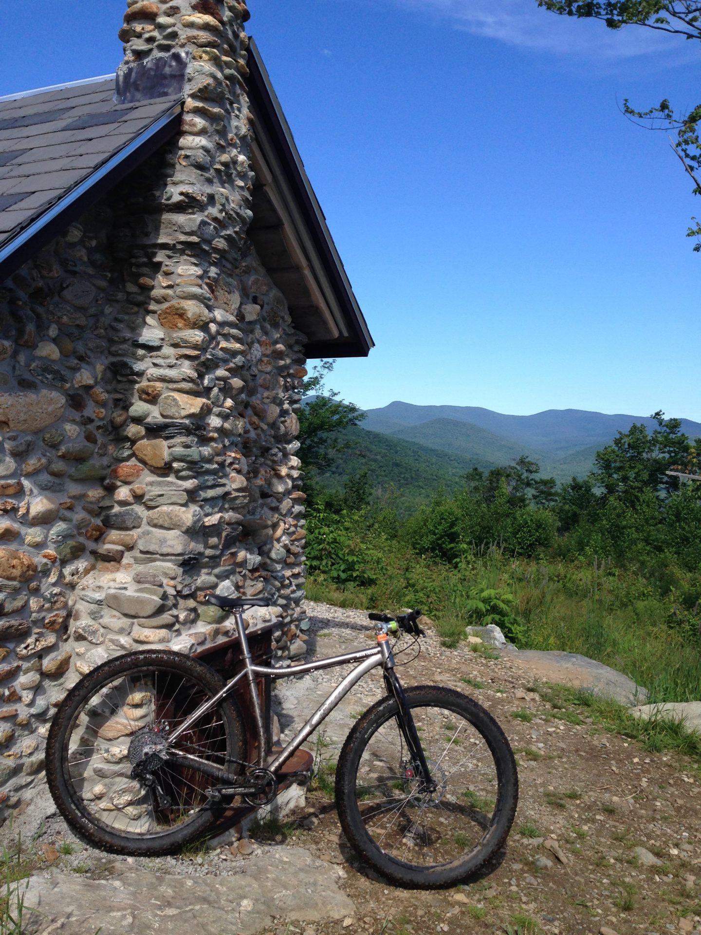
The view from the summit is amazing. There is a small stone cabin in the middle of a grassy clearing. The cabin can be used overnight, but I’m not sure about the details. If you want that experience, speak with the people at the general store in town. I used this location to rest and repair a pinch flat that I had gotten from hitting a chunk of ledge on the climb up.
With air in my rear tire, it was time to think about how I wanted to continue my ride. I talked with a local rider, Reed, and he suggested taking Labrynth to Warman to Stonewall. Labrynth snaked a pretty narrow track through the trees around the summit. This was not especially fast riding, but interesting in it’s own way. Labrynth led me to Warman which was a rolling ride with some pretty cool banked corners. It definitely had a nice flow to it.

I don’t remember exactly where Warman switched over to Stonewall, but I do remember that Stonewall was super fun. The trail seemed to be bench cut into the mountain side but was open enough to allow me to accumulate some real speed. I noted this in the back of my mind as one to return to next time I got to ride there. A quick climb up Lovin’ It brought me back to the summit.
Since I had seen quite a few mentions of Fusters trail on-line, I figured I should check that one out next. Good choice. Very good choice. This trail descends off the summit and works its way across the mountain and back in a wide arc. There were many huge banked corners. Between them were numerous rollers and jumps. The upper half of the trail was like a downhill playground. The remainder was quite fun with plenty of single track over some pretty interesting terrain. I didn’t want it to end.
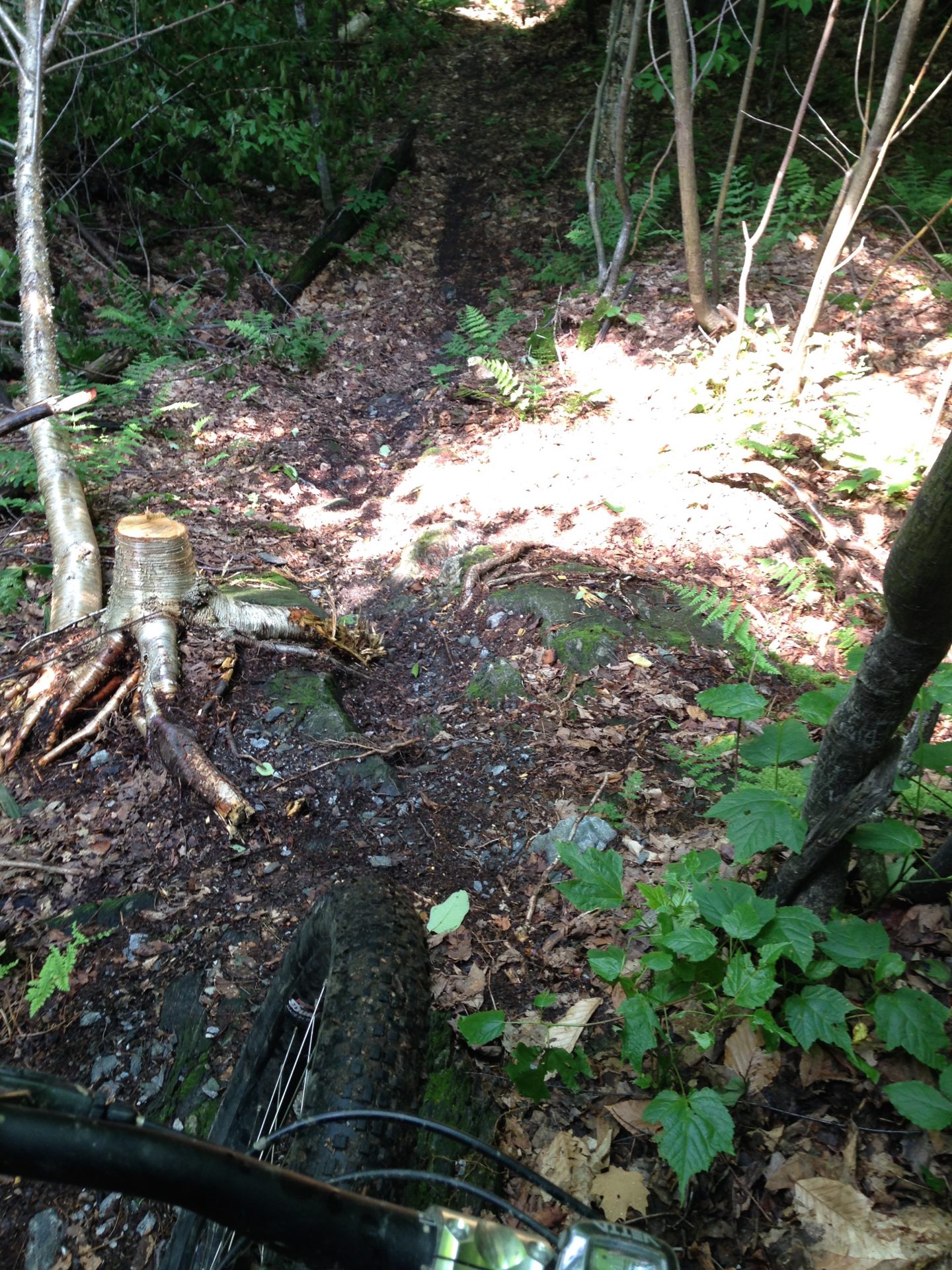
I returned a couple of days later to hit a few trails I missed, revisit some others and repair another pinch flat. The highlight of that day, for me, was the Bubba Trail. I was expecting it to be much like Fusters, since it follows a similar line across the mountain side on the map. The reality was very different. This trail starts near the summit and quickly gets tight and technical. It is technical in a low speed, “I know I can ride this” kind of way. There are some ledge drops that gave me pause before continuing. The trail cuts across steep side hills, following narrow bench cut lines around trees and over rocks. Even though it is probably under half the length of Fusters, Bubba seemed longer. This hand-cut single track had a wild, “out there” feel to it. I would recommend against riding it alone – it was remote and with little enough traffic that getting hurt out there could have some serious consequences (No cell service, either). That said, I absolutely loved the Bubba Trail. It was a refreshing change from the trend where everyone is building ultra-smooth, buffed out, machine-made trails that resemble an alpine slide track more than a mountain bike trail. More please!
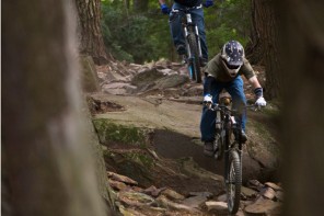
Over all of my riding at Green Mountain Trails, I was continually impressed with the terrain and the work that was done to make such a great network in an unlikely location. It seemed like nearly every trail was at least partially cut out of the hillside and not all of it could have been done with machinery. Digging in central Vermont is hard work, and this hillside didn’t appear to have any shortage of ledge and rock to be moved. Very impressive. Most of the trails have a really great, smooth flow to them with some fun descents. The combination of challenging terrain with outstanding trail building is enough to draw me back next time I am in the area. More photos below:


Happy to see Bubba getting some much needed love! Email us directly about cabin stays or other camping options and we’ll try our best to accommodate you. greenmountaintrails@gmail.com
My sons and I rode Green Mountain Trails on Monday, July 6th, and had a blast. We started at the Amee Farm parking lot, crossed the river on foot and headed up the Staircase to the Escalator, took a break at the Overlook, and finished the ride to the top on Luvin’ It. The ride from the river to the Outlook was a series of switchbacks that stretched the lungs, legs & heart. The segment from Outlook up Lovin’ It was an enjoyable ride with a gradual climb along the switchbacks to the top. Despite all the wet weather we’ve had, the trail was mostly dry; there were only a few spots we hopped off to avoid making ruts. Once we reached the top, we were impressed with how nice the summit cabin is and would definitely consider an overnight in the future. After a short rest, we took a trail that might have been Summit Loop around to Fusters which took us down. Great speed, good turns & a fun ride down. All in all, we spent about an hour and a half riding up and about a half hour to get back to where we started. The Green Mountain Trails system is a hidden gem that I wish I’d known about before. Now that I’ve been there, I’ll definitely be going back, and I encourage everyone to give it a try. See you on the trails!
I’m pretty sure I met you, Corby, near the Overlook. l was the guy who looked like he just got back from a dip in a mud bog. You guys took the hard way up. Nice going! Glad you enjoyed it!
We’d love to have folks join us for the MTB6 race which takes place on the Green Mountain Trails. The course is set by the GMT trail guru Matt. https://www.bikereg.com/mtb6