The MTBVT crew hooked up with Brooke Scatchard recently for a number of different reasons. Firstly, he’s in the process of building the Norwich Trails and offered to take us on a tour. (They are awesome!) Secondly, he’s a map genius and we realized we needed his expertise for the guidebook. Finally, he’s a quiet, well-spoken, polite individual – unlike the rest of us drunken yabos. He has joined the MTBVT team because we’re tired of getting kicked out of bars.
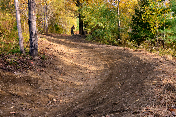
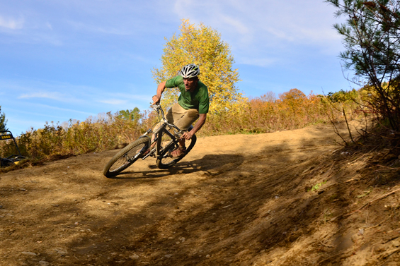
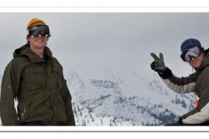
 Aaron Codling Photo
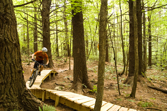
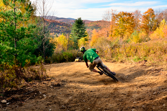
World – meet map dude Brooke Scatchard:
What’s your full name and what does it mean? Like is “Scatchard” Scottish for cat herder or something?
Brooke Oliver Scatchard. It means Bikes On Snow.
What’s your company and what do you do?
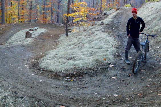
Sinuosity is my trail design, construction, and mapping company. I orchestrate the creation of the most fun, unique and flowy trails that I can imagine. My current project with Sinuosity is the design and construction of a multi-use trail network at Norwich University in Northfield, VT. The 3-mile XC loop and 2-mile downhill trail will be open to the public next summer.
How did you get into trail building and mapping?
I started volunteering regularly with the Fellowship of the Wheel while at UVM. I was majoring in Geography and focused my classes and an internship around GIS mapping. The Fellowship needed maps for all the new trails we were building and after donating lots of my time, I was hired to build, map, and manage the entire Fellowship trail network. I worked for three years as the Trail Director of FOTW before branching out on my own.
What trails and maps are you responsible for?
I collaborated on the design of most of the trails in the Hinesburg Town Forest and Carse Hills with Hans Jenny, the founder of the Fellowship. I’ve also designed and revised trails at Saxon Hill, Sunny Hollow, Mud Pond, Sleepy Hollow and Arcana. I have made all of the Fellowship maps (except for Mobbs), as well as Green Mountain Trails in Pittsfield. The Norwich University network is my biggest project so far.
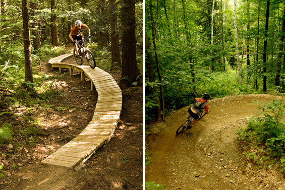
Photos: Hilary Hess and Aaron Codling
How have you seen trail building techniques change over the years?
I think trail building techniques have evolved along with the popular riding styles. When I started building trails it was all about clearing techy, minimalist lines with very little shaping of the dirt; what IMBA calls “rake and ride.â€Â Those trails build one set of skills, but hold you back from another. We started adding flow to the Fellowship trails by removing saplings from the inside of corners, shaping berms, building landings, and smoothing out some of the choppiest bits to allow more speed and linked turns. IMBA has taught the world a lot about sustainable trail building and design which has established bike trail builders as the leaders in this field. The key is learning to apply these methods where feasible while still keeping the challenge and character of the old school style of building. The newest movement towards machine built trails with lots of berms and jumps is really fun and adds another dimension to our riding.
What do you ride?
I choose between an aluminum 27.5†wheel hardtail, a steel 29er hardtail or a 5†travel Lenz Behemoth 29er depending which one needs less work at the moment. I also have a Santa Cruz VP Free DH bike that I pedal around or bring up the lifts now and then. Lately I’ve put most time on my basic little dirt jumper bike to test short sections of trail and get around the job site in Northfield.
What’s your favorite trail in Vermont?
I’d say Dragon’s Tail in the HTF for a climb and then Bear Trail in Stowe for a descent. Passing the Horizon and the Preacher are right up there too.  I’ve also had some epic runs on Knight Slayer at Burke.
What’s your favorite overall area to bike in the state? In the world?
Early season it’s Trapp’s or Mud Pond. Mid-season it’s HTF and Carse Hills. This fall, the riding and foliage in Northfield has been stellar. So far, my favorite place to ride in the world is the Sunshine Coast area of BC. The trails there are uber-flowy and the funky cedar bridges fit perfectly with the landscape.
if you need help on the downhill trails let me know!
Brandon, you would kick ass at building with those guys!
Hey Brandon, i was wondering if you could make a trail map….. I haven’t ridden your trails yet but i hope to some time soon. And i don’t want to get totally lost when ridding them. I have heard great stuff about your trails and hope they keep on improving.